
Driving Trails Great Smoky Mountains National Park
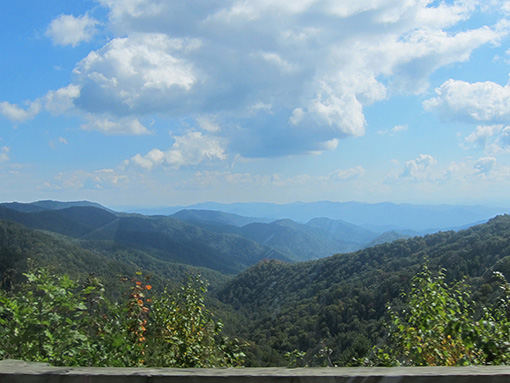
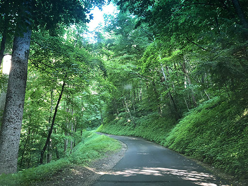
Enjoy nature at its finest from the comfort of your motor vehicle. Great Smoky Mountains National Park offers breathtaking views on its many motor nature trails. These driving trails provide pullover areas so you can capture the beauty of the Smokies on camera. There are 384 miles of road in the Smokies. Most are paved, and even the gravel roads are maintained in suitable condition for standard passenger cars. Travel speeds on most of the park's paved roads average 30 miles per hour.
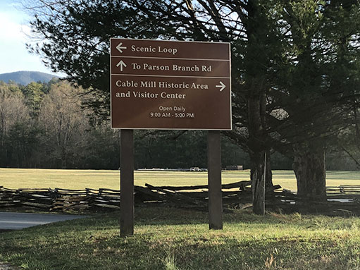 Cades Cove Loop Road |
 Hwy 441 (Newfound Gap Road) |
 Roaring Fork Motor Nature Trail |
 Cataloochee |
| Road | One-way Mileage |
Driving Time |
Location | Road Condition | ||||||||||||||||||||
| 9 | 30 min. | Blue Ridge Parkway | Two-way, paved | |||||||||||||||||||||
| 11 | 1-1/2 hrs | Cades Cove | One-way, paved | |||||||||||||||||||||
| 6 | 30 min. | I-40 at U.S. 276 | Two-way, dead end | |||||||||||||||||||||
Cherokee Orchard Road |
3.5 | 15 min | Gatlinburg to Roaring Fork | Two-way, paved | ||||||||||||||||||||
| 6 | 15 min. | Hwy. 321, Cosby | Two-way, paved | |||||||||||||||||||||
| Foothills Parkway West | 18 | 30 min. | U.S. 321N to U.S. 129 | Two-way, paved | ||||||||||||||||||||
Heintooga Ridge |
6 | 1 hour | Balsam Mountain Road | Two-way, paved | ||||||||||||||||||||
| Hwy 441 (Newfound Gap Road) | 28 | 1 hour | Gatlinburg, TN to Cherokee, NC | Two-way, paved | ||||||||||||||||||||
| 6 | 20 min. | Bryson City, NC | Two-way, dead end | |||||||||||||||||||||
Parson Branch |
8 | 1 hour | Cades Cove | One-way, unpaved | ||||||||||||||||||||
Rich Mountain Road |
7 | 1 hour | Cades Cove | One-way, unpaved | ||||||||||||||||||||
| 8 | 1-1-/2 hrs | Cherokee Orchard Road | One-way, paved | |||||||||||||||||||||
Heintooga-Roundbottom Road - This is a driving trail that descends from the high altitudes of the Balsams down into the coves of Roundbottom and Cherokee. Heintooga-Roundbottom Road is accessible from the Blue Ridge Parkway at the Cherokee entrance of the Park.
|
||||||||||||||||||||||||